Arches
Arches is an open-source, geospatially-enabled software platform for cultural heritage inventory and management, developed jointly by the Getty Conservation ...
Arches is an open-source, geospatially-enabled software platform for cultural heritage inventory and management, developed jointly by the Getty Conservation ...
CARTO Builder is an easy-to-use web-based tool for the analysis and visualization of location data. Free and non-profit accounts are both available.
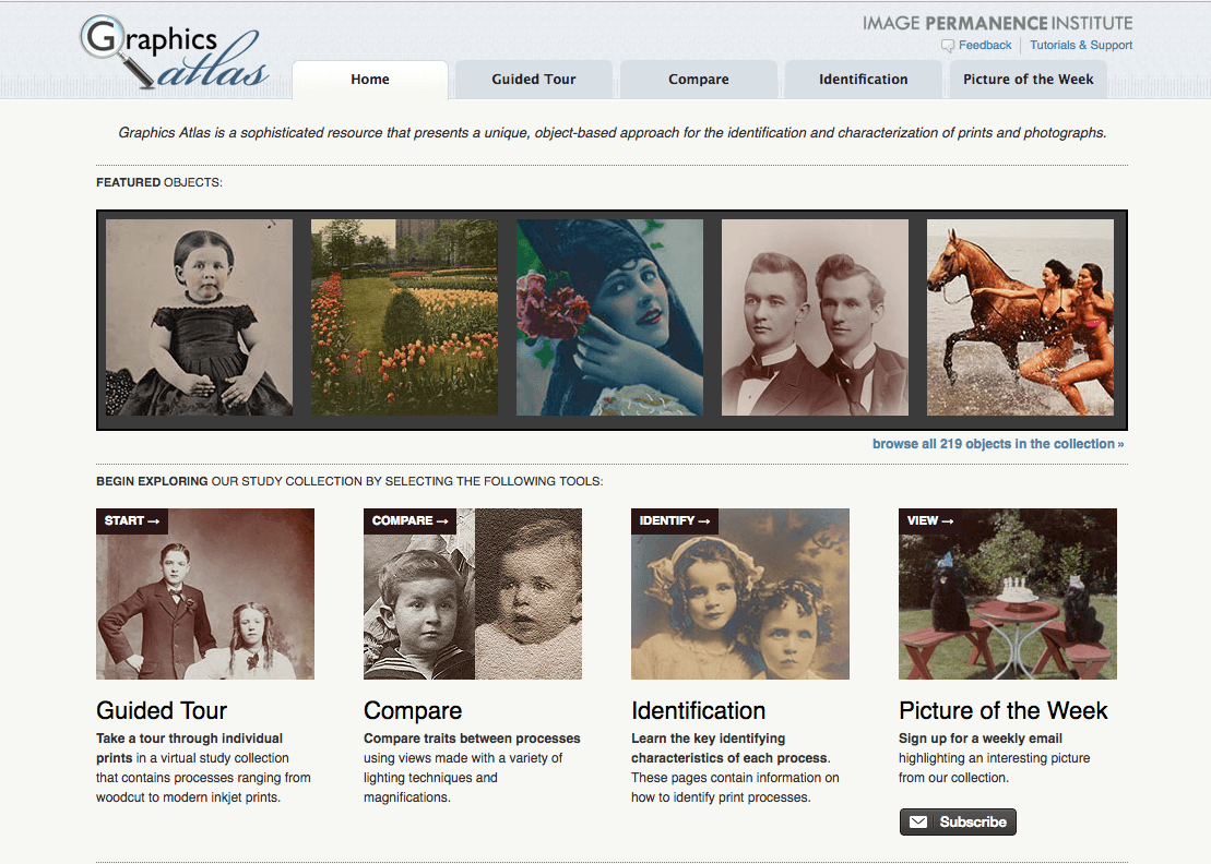
Graphics Atlas is a sophisticated resource that presents a unique, object-based approach for the identification and characterization of prints and photographs.
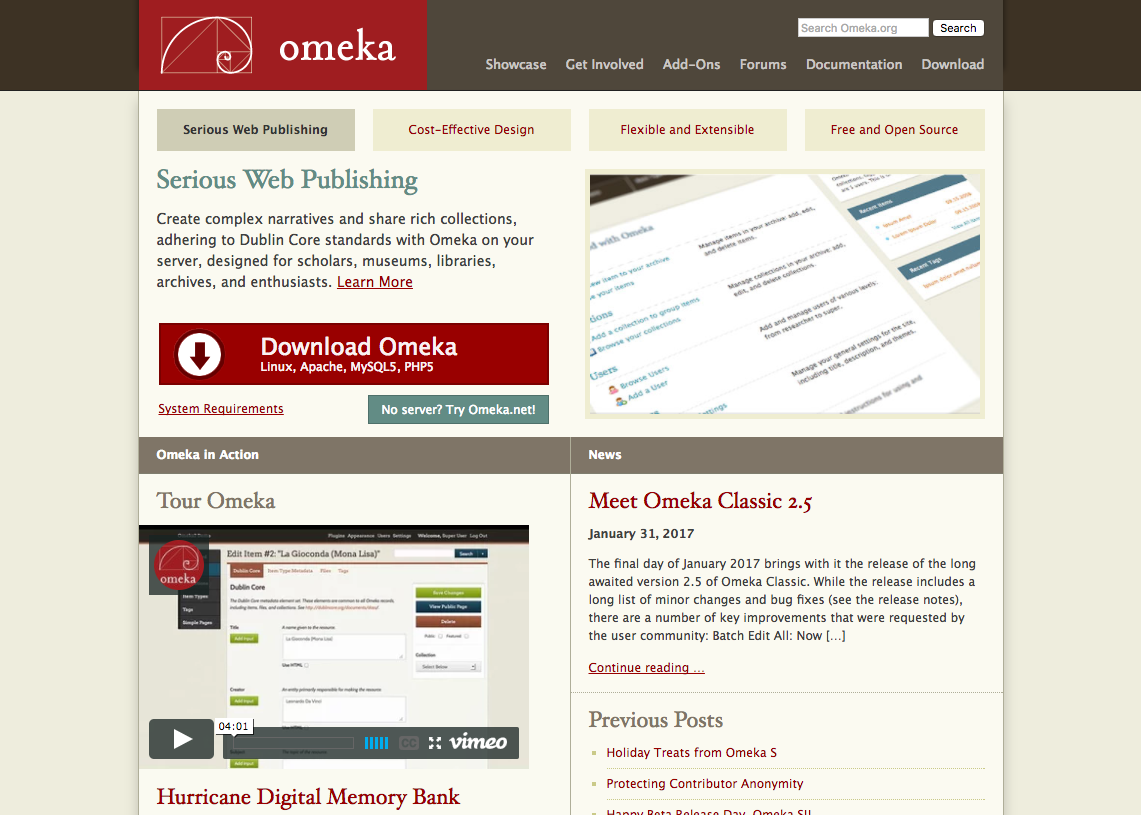
Create complex narratives and share rich collections, adhering to Dublin Core standards with Omeka on your server, designed for scholars, museums, libraries,...
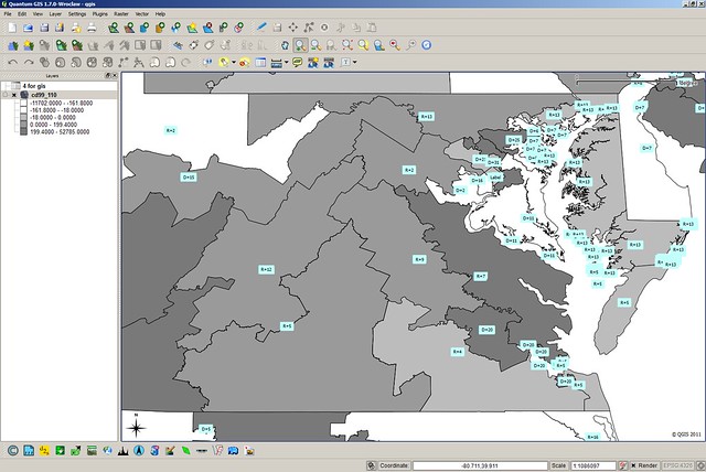
QGIS is the best GIS tool in the free and open-source software (FOSS) community. Anyone can use QGIS to create, edit, visualize, analyze and publish geospati...
A package of web applications including Gmail, Google Calendar, Google Drive, and more.
LocalWiki is a grassroots effort to collect, share and open the world’s local knowledge. They want anyone, anywhere to be able to learn about where they live...
TimelineJS is an open-source tool that enables anyone to build visually rich, interactive timelines. Beginners can create a timeline using nothing more than ...
Zotero is a free, open-source research tool that helps you collect, organize, and analyze research and share it in a variety of ways. Zotero includes the bes...
Transom Staff have described their personal rigs, and together, they compiled their assessments into dollar-determined good, better, best-ness. There are lin...
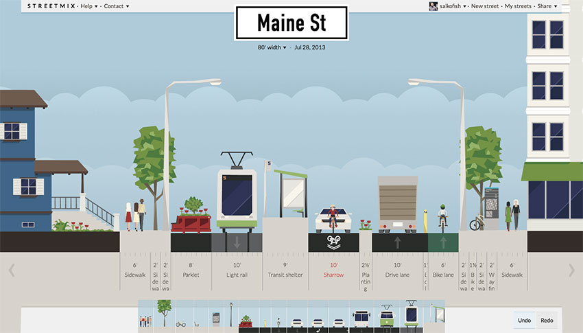
Design, remix, and share your neighborhood street – all in your browser! Add trees or bike paths, widen sidewalks or traffic lanes, learn how your decisions ...